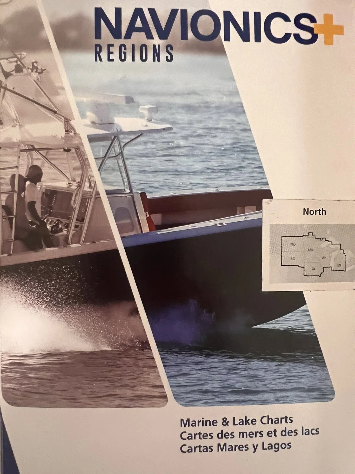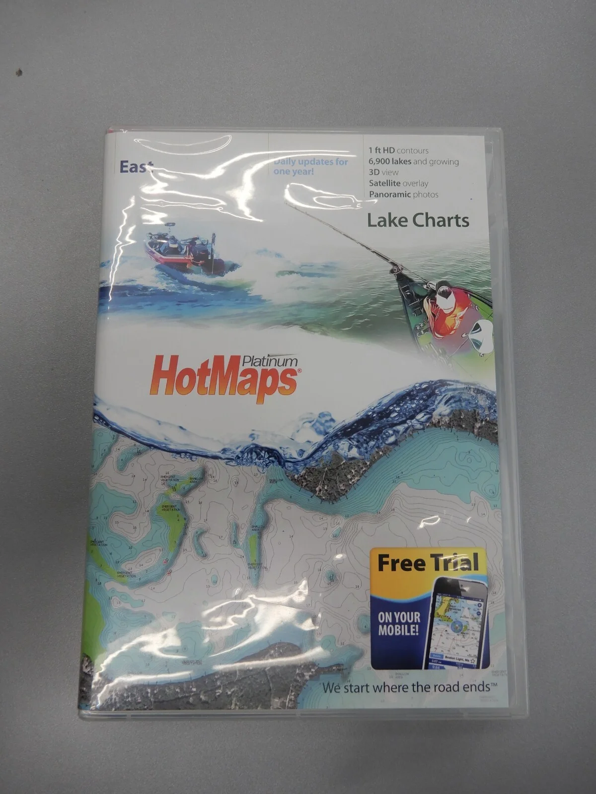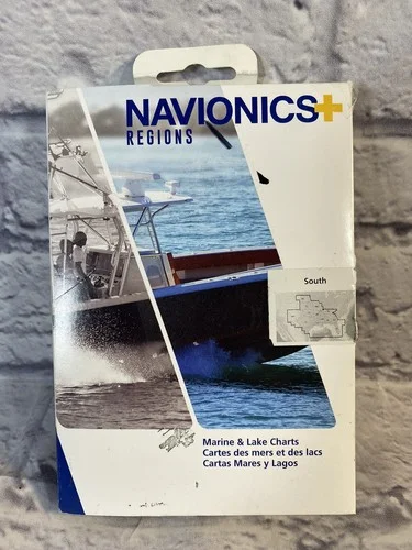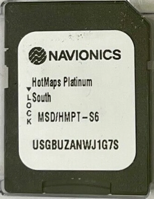
Navionics HotMaps Platinum Southern Region Map Software. MSD/HMPT - S6 SOUTH NEW
USD $129.00
- Condition:
- New other (see details)
- Shipping:
- Free Shipping
- SKU:
- N/A
- Categories:
- eBay Motors / Parts & Accessories / Boat Parts / Electronics & Navigation / GPS & Chartplotters


Price alert
Notify me when the price drops
Description
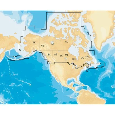
Navionics hotmaps platinum southern region map software. msd/hmpt - s6 south data chart dates: 5/23/2019 micro sd card new old stock this software covers lakes in the southern us and displays features like structure reefs, drop-offs and vegetation. the software is navplanner compatible for easy route planning and details the location of services like boat ramps and marinas. covers alabama, arkansas, florida, georgia, kansas, louisiana, missouri, mississippi, nebraska, new mexico, oklahoma and texas. navplanner compatible. turboview compatible with select chartplotters. navionics pro staff local knowledge for select lakes. 3-d view of hd survey lakes. panoramic lake pictures of select hd survey lakes. satellite photo overlay of hd survey lakes. navionics has amassed the most comprehensive lake map database of its kind comprised of more than 17,000 total lakes throughout north america, including hundreds of high-definition lake maps created from our own on-the-water survey team. our plug-and-play cartography is an indispensable component of the industry's leading chartplotter manufacturers because anglers and navigators around the world demand our attention to detail. sonarchart shading, created from the high-definition contour data within sonarchart, presents a detailed rendering of the seafloor and lake bottoms in varying shades of blue. as coverage areas are released, customers who own a platinum+ or hotmaps platinum chart with an active subscription will be able to download the combined satellite overlay and sonarchart shading layer for their region via the chart installer. features: new sonarchart shading navaids, water depth, wrecks, rocks, obstructions, marinas, services, boat ramps and so much more user-defined data display for uncluttered charts real-time display of position, course, speed, and track simple plug and play operation panoramic lake pictures (select hd survey lakes) satellite photo overlay (hd survey lakes) 3-dimensional view (hd survey lakes)
Hashtags
Market history
Price Tracking
Related picks